Central American Highway 1
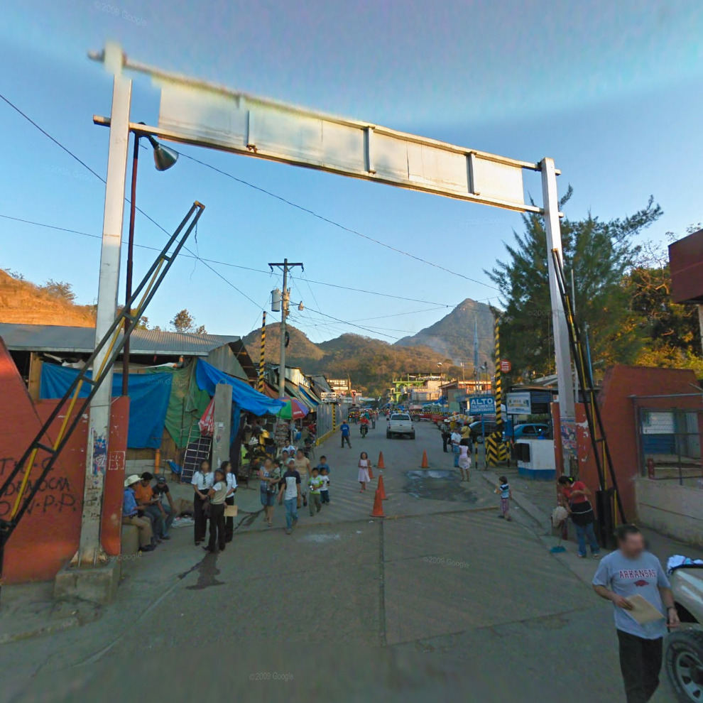
Looking southeast from near Ciudad Cuauhtémoc, Chiapas, in Mexico down Central American Highway 1 (also called the Pan-American Highway) into Pacoc, a town near Le Mesilla, Huehuetenango, in Guatemala.
The borderline between the two nations is underneath the sign, marked on the pavement. (Click here for a closer look.)
On this international border, Mexico observes Daylight Saving Time and during the summer, is one hour ahead of Guatemala, which does not observe DST, despite Mexico being west of Guatemala.
Also, woo pig sooie.
(Google Maps, this location as viewed from Pacoc)
thereisnosuchthingasachickenwing liked this
closetotheborderline posted this