weedsandthistle reblogged

Helsinki, Finland.
Source: rainie-is-seasonchange
Helsinki, Finland.
Novokuznetskaya metro station in Moscow (1979)
odesa 2018
•
Lady Aurora decided to show herself tonight. It wasnt the most spectacular northern lights I have ever seen but still nice to watch.
Satellite photo of the Scandinavian peninsula (February 19th, 2003), taken from NASA’s Terra satellite.
Along the west side of the peninsula are the jagged inlets, or fjords, that line Norway’s coast. Many of the fjords are over 610m deep, and were carved out of heavy, thick glaciers that formed during the last ice age. These glaciers ran off the mountains and scoured troughs into Norway’s coastline with depths well below sea level. When the glaciers melted, seawater rushed into the deep troughs to form the fjords. Sognefjord, nicknamed “King of the Fjords”, is the deepest fjord on the Norwegian coast. It is located in south-west Norway and is 1,308m deep.
The mountains in Norway and northernmost Sweden were also carved by glaciers. South of this mountainous region, Sweden mostly has flat, heavily-forested land dotted with lakes. Vänern and Vättern, Sweden’s largest lakes, don’t freeze completely in winter and can be seen clearly at the bottom of the peninsula. Vättern was connected to the Baltic Sea during the last ice age. After the ice melted, a huge weight was lifted off the peninsula, and the landmass rose up to separate the lake from the Baltic Sea.
Finland (in the north-east) has over 55,000 lakes, mostly of which were also created by glacial deposits.
Iceland
Kirkjubøur, Faroe Islands
Traditional green-roof cottages on the Faroe Islands. Photo by @ilhan1077
Lofoten Nothern Norway
Lofoten is known for excellent fishing, nature attractions such as the northern lights and the midnight sun, and small villages off the beaten track. Kayak between the islands, go fishing for the catch of your life, or look for sea eagles soaring in the sky. BY
© STIAN NORUM HERLOFSEN
Moscow, Russia - November 2019
White Pass railroad through the Coast Mountains, Yukon, Canada
Taken August 2019
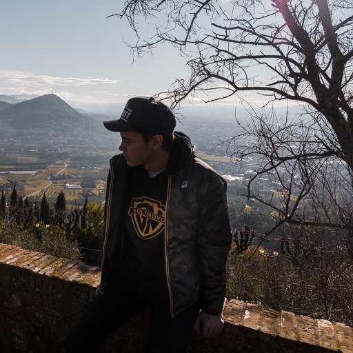
Lake como
Marcella On Flickr