5 Examples of How Our Satellite Data is Helping the Planet
We could talk all day about how our satellite data is crucial for Earth science…tracking ocean currents, monitoring natural disasters, soil mapping – the list goes on and on.
But did you know there is another way this data can improve life here on Earth?
Our satellite data can be used to build businesses and commercial products – but finding and using this data has been a daunting task for many potential users because it’s been stored across dozens of websites.
Until now.
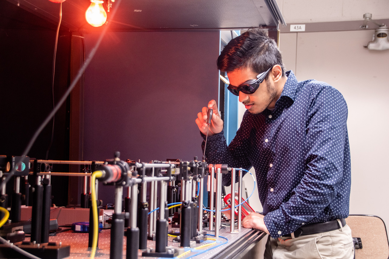
Our Technology Transfer program has just released their solution to make finding data easier, called The NASA Remote Sensing Toolkit (RST).

RST offers an all-in-one approach to finding and using our Earth Science data, the tools needed to analyze it, and software to build your own tools.
Before, we had our petabytes on petabytes of information spread out across dozens of websites – not to mention the various software tools needed to interpret the data.

Now, RST helps users find everything they need while having only one browser open.
Feeling inspired to innovate with our data? Here are just a few examples of how other companies have taken satellite data and turned it into products, known as NASA spinoffs, that are helping our planet today.
1. Bringing Landscape into Focus
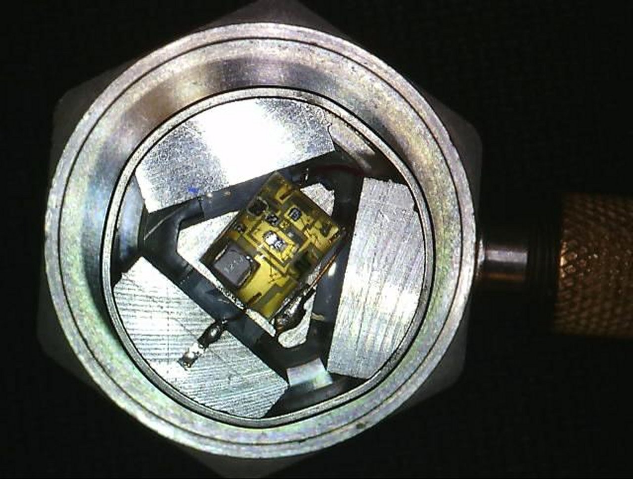
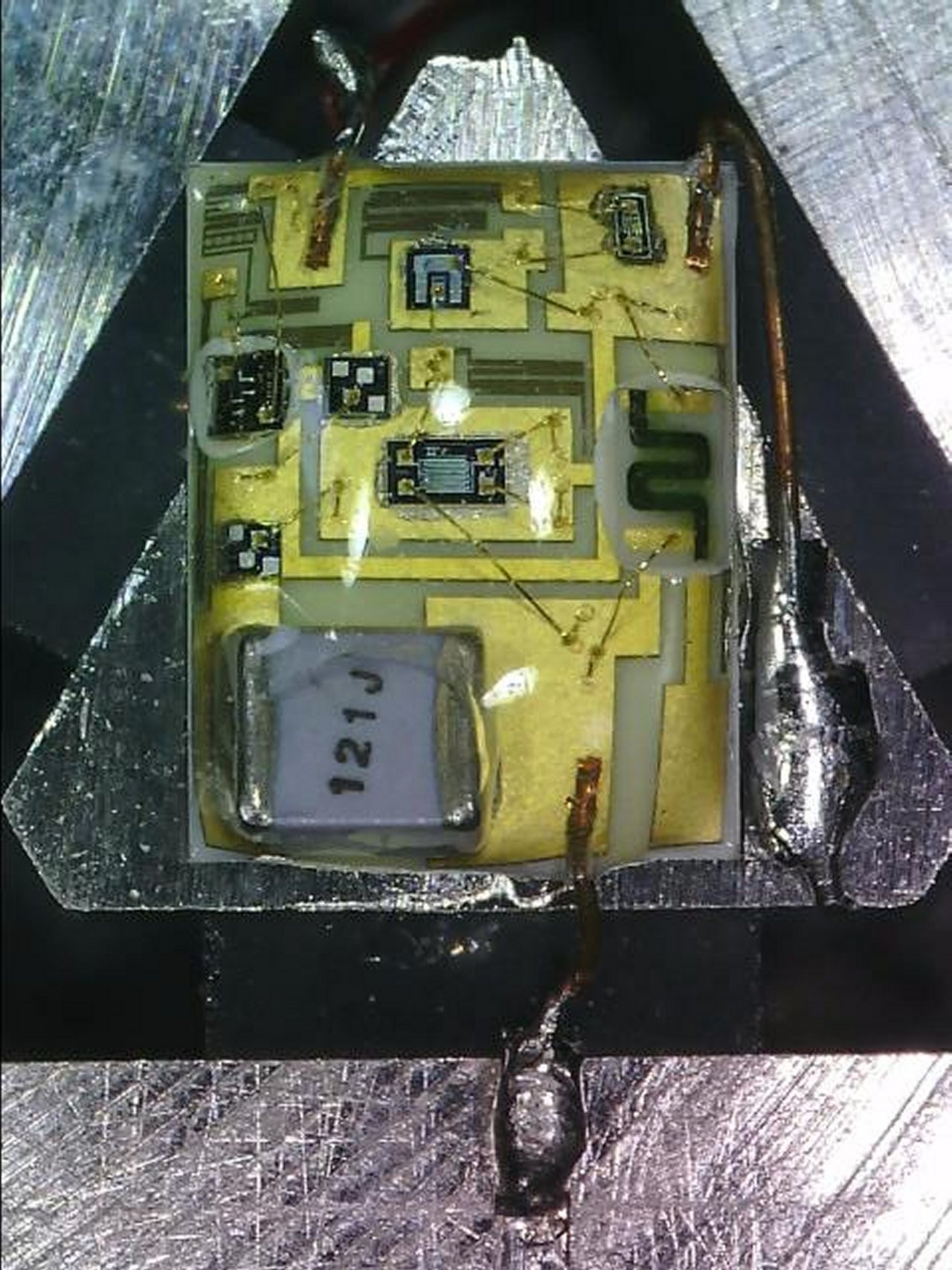
We have a number of imaging systems for locating fires, but none were capable of identifying small fires or indicating the flames’ intensity. Thanks to a series of Small Business Innovation Research (SBIR) contracts between our Ames Research Center and Xiomas Technologies LLC, the Wide Area Imager aerial scanner does just that. While we and the U.S. Forest Service use it for fire detection, the tool is also being used by municipalities for detailed aerial surveillance projects.
2. Monitoring the Nation’s Forests with the Help of Our Satellites
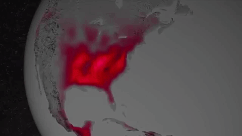
Have you ever thought about the long-term effects of natural disasters, such as hurricanes, on forest life? How about the big-time damage caused by little pests, like webworms?
Our Stennis Space Center did, along with multiple forest services and environmental threat assessment centers. They partnered to create an early warning system to identify, characterize, and track disturbances from potential forest threats using our satellite data. The result was ForWarn, which is now being used by federal and state forest and natural resource managers.
3. Informing Forecasts of Crop Growth
Want to hear a corny story?
Every year Stennis teams up with the U.S. Department of Agriculture to host a program called Ag 20/20 to utilize remote sensing technology for operational use in agricultural crop management practices at the level of individual farms.
During Ag 20/20 in 2000, an engineering contractor developed models for using our satellite data to predict corn crop yield. The model was eventually sold to Genscape Inc., which has commercialized it as LandViewer. Sold under a subscription model, LandViewer software provides predictions of corn production to ethanol plants and grain traders.
4. Water Mapping Technology Rebuilds Lives in Arid Regions

No joking around here. Lives depend on the ability to find precious water in areas with little of it.
Using our Landsat satellite and other topographical data, Radar Technologies International developed an algorithm-based software program that can locate underground water sources. Working with international organizations and governments, the firm is helping to provide water for refugees and other people in drought-stricken regions such as Kenya, Sudan, and Afghanistan.
5. Satellite Maps Deliver More Realistic Gaming

Are you more of the creative type? This last entry used satellite data to help people really get into their gameplay.
When Electronic Arts (EA) decided to make SSX, a snowboarding video game, it faced challenges in creating realistic-looking mountains. The solution was our ASTER Global Digital Elevation Map, made available by our Jet Propulsion Laboratory, which EA used to create 28 real-life mountains from 9 different ranges for its award-winning game.
You can browse our Remote Sensing Toolkit at technology.nasa.gov.
Want to know more about future tutorial webinars on RST?
Follow our Technology Transfer Program on twitter @NASAsolutions for the latest updates.
Want to learn more about the products made by NASA technologies? Head over to spinoff.nasa.gov.
Sign up to receive updates about upcoming tutorials HERE.
Make sure to follow us on Tumblr for your regular dose of space: http://nasa.tumblr.com.